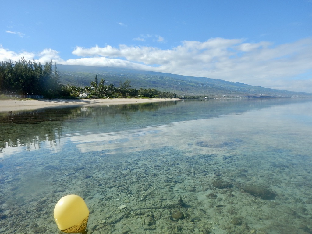
WP2 aims to investigate the physical processes that drive extreme sea levels events and subsequent floodings in coral reef islands. The scientific strategy relies on the combination of field measurements and high-resolution numerical modeling. Field observations have been/will be performed on the five study sites, selected for their contrasted geomorphology and exposure to tides and wave regimes, including extreme events such as tropical cyclones or distant-source swells.
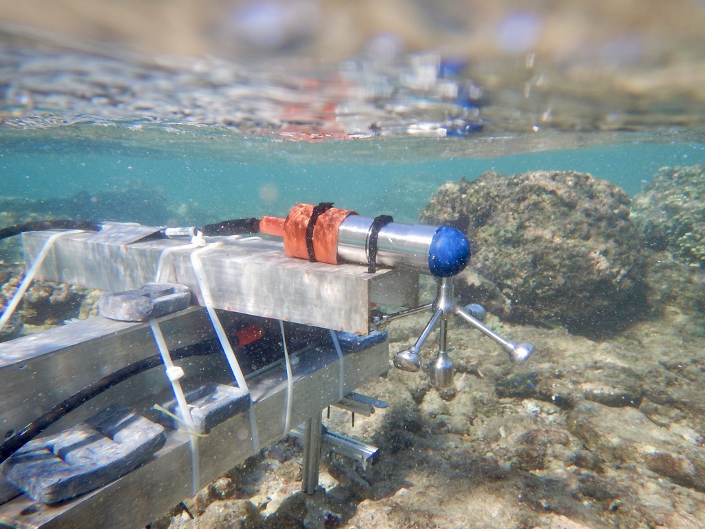
The core objective is to capture the transformation of surface waves from deep-water to the shoreline (reflection, refraction, shoaling, breaking, energy transfers to harmonics, bottom friction, interaction with currents, long waves and resonance) and the related response of the coral island hydrosystems in terms of water levels and currents, which remains a challenging task in these remote and harsh environments. Typical instrumentation include bottom-mounted pressure sensors, wave buoys, current-meters and current profilers, topo-bathymetric soundings, shore-based infrared lidar and photogrammetry. A range of numerical modelling approaches, from spectral to wave-resolving, are implemented to complete the field observations, allowing a fine discrimination of the driving processes, a more complete spatio-temporal resolution and the simulation of prospective scenarios, including extreme events and impacts of global changes. The observational data are analyzed using state-of-the-art processing methods, leading to both an accurate description of the physical processes controlling wave dynamics and extreme sea levels in coral reef systems and to unprecedented datasets, in terms of resolution and site variety, for the calibration and the validation of numerical models.